
Environment Canada issues Winter Storm Watch
Winter Storm Watch in effect
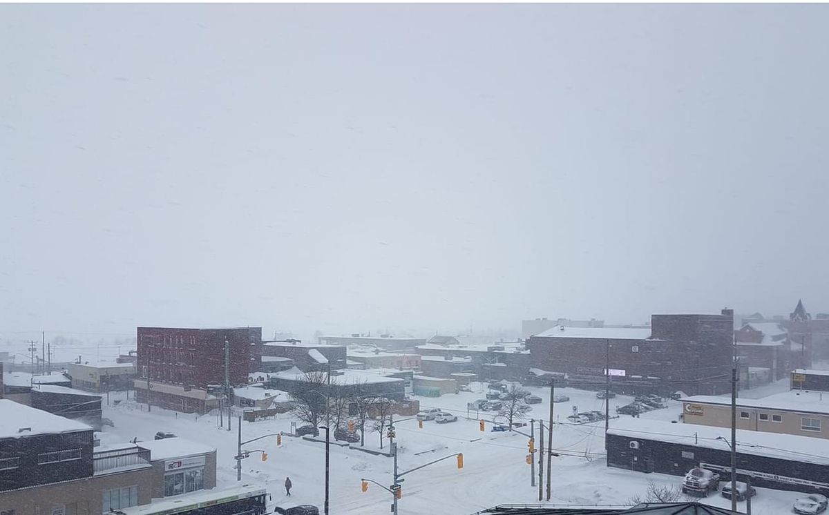
Environment Canada has issued a Winter Storm Watch for North Bay-West Nipissing
The winter storm is likely late Tuesday into Wednesday with 15 to 30 cm of snow, poor visibility in areas of heavy snow, blowing snow and hazardous travel conditions.
Environment Canada
Heavy snowfall and blowing snow associated with a major winter storm are expected to begin affecting northeastern Ontario Tuesday, with the worst conditions most likely Tuesday night into Wednesday morning. Total snowfall amounts of 15 to 30 cm will be possible. Northeast winds gusting up to 60 km/h will result in areas of blowing snow giving poor visibility at times.
This is a heads up to the potential development of an impactful winter storm over northeastern Ontario. The exact track of this weather system is still somewhat uncertain, and as a result, expected snowfall amounts may change.
Warnings may be issued as this event draws nearer.
Travel is expected to be hazardous due to reduced visibility in some locations. Surfaces such as highways, roads, walkways and parking lots may become icy and slippery. Poor weather conditions may contribute to transportation delays.
Please continue to monitor alerts and forecasts issued by Environment Canada. To report severe weather, send an email to ONstorm@ec.gc.ca or tweet reports using #ONStorm.