
FLOOD WARNING
A FLOOD WARNING remains in effect for the Lake Nipissing Shoreline, La Vase River downstream of Lakeshore Dr, Parks Creek. The FLOOD WARNING for the Mattawa River downstream of Hurdman Dam has ended. A Watershed Conditions Statement – Water Safety has been issued for the North Bay-Mattawa watershed.
Eva Wardlaw Conservation Area is closed to the public while operations remain ongoing.
Mattawa peaked 6 cm above the major flood threshold of 154.8 m. Daily average water level has receded by 68 cm. Water levels are forecast to continue to decline, per the Ottawa River Regulating Committee. Minor flooding may remain in the most low-lying and flood-prone areas. Mattawa Island Conservation Area remains closed due to flooding.
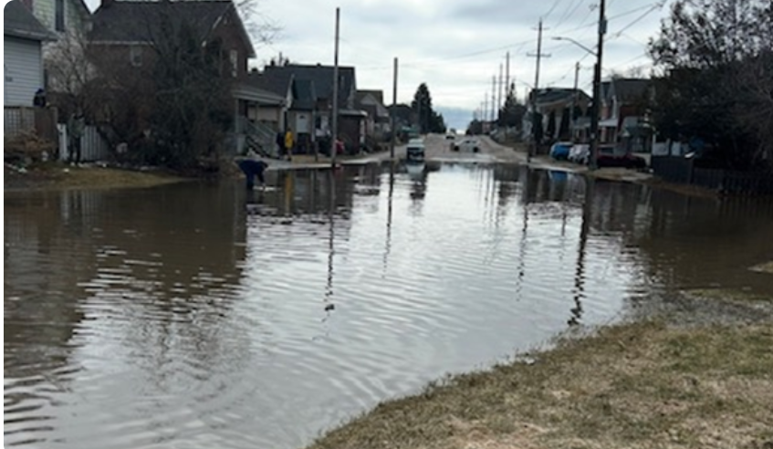
Residents are asked to keep children and pets away from shorelines and watercourses, and to avoid driving through flooded areas wherever possible. For flood emergencies, contact your local municipality. Residents of unincorporated townships should contact the Ministry of Natural Resources – North Bay District.
NBMCA staff will continue to monitor conditions as part of the Authority's Flood Forecasting and Warning Program and will issue updates as needed.
Current flood status and condition updates are available at nbmca.ca, on X (@theNBMCA), Facebook (@theNBMCA), and Instagram (@nbmcainfo).
This message is in effect until Tuesday, May 19, 2026, at 4:00 PM EDT.
Please note: NBMCA is responsible for local flood forecast and warning program within its jurisdiction, covering communities from North Bay and Callander to Mattawa. Where a Conservation Authority has not been established, the local MNR District Office is responsible for local Flood Forecast and Warning programs, including along the Ottawa River, see
NBMCA cannot assist with active flood response and does not control water levels or operate dams, our watershed is largely natural with very few control structures. The Parks Creek Backflood Control Structure, which prevents Lake Nipissing from flooding upstream into Parks Creek, is the one exception. Where a Conservation Authority has not been established, the local MNR District Office is responsible for Flood Forecast and Warning programs, including along the Ottawa River. MNR Flood Forecast and Warning.