
Snow depth decreases 23 cms
Snow survey measurements show a snow depth decrease of 23 cm, and snow water equivalence decrease of 31.3 mm from the last survey on March 2, reports the North Bay-Mattawa Conservation Authority (NBMCA) who measures snow depth and water content as part of its Flood Forecasting and Warning Program.
“Snow survey results show that average snow depth across all three stations is currently 39.1 cm, with snow water equivalent measuring 107.7 mm,” said Angela Mills, NBMCA Water Resources Specialist. “The snowpack has decreased considerably in the last week, after several days of mild temperatures and significant rainfall over the weekend. The remaining snowpack is very wet and unstable. Many wetlands and low-lying areas are inundated across the watershed. The Watershed Conditions Statement – Flood Outlook remains in place as this water drains through the landscape,” she added.
NBMCA is now measuring the snowpack weekly, to monitor conditions leading up to and during the spring freshet. This is a supplementary survey; more data is required for comparison to historical conditions. Historical data will be included in the next snow survey which takes place March 16.
A Snow Survey page on our website is available with more snow survey program information and this season's measurements. https://nbmca.ca/watershed-management/snow-survey/
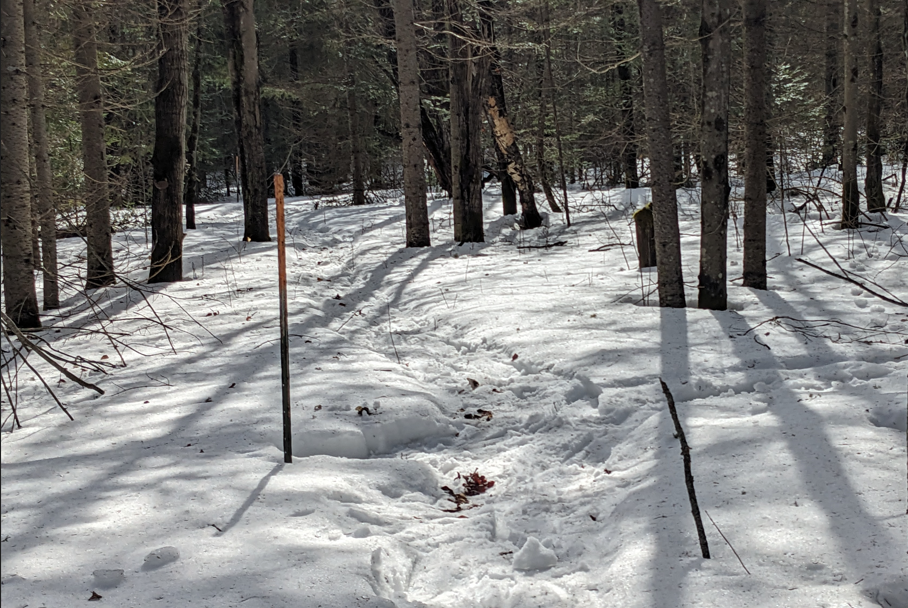
Snow is measured for depth and water equivalence at three locations in the watershed.
Table 1: North Bay Golf and Country Club (Chippewa Creek Watershed, North Bay)
Current Snow Depth for March 9, 2026 41.8 cm
Current Snow Water Equivalence for March 9, 2026 120.0 mm
Snow Depth last year on March 7, 2025 55.3 cm
Snow Water Equivalence last year on March 7, 2025 121.0 mm
*Data prior to Dec. 2011 from the former Northeast Mental Health Centre, Hwy 11
Table 2: Corbeil Conservation Area (La Vase River Watershed, Corbeil)
Current Snow Depth for March 9, 2026 34.4 cm
Current Snow Water Equivalence for March 9, 2026 98.0 mm
Snow Depth last year on March 7, 2025 54.7 cm
Snow Water Equivalence last year on March 7, 2025 105.0 mm
Table 3: Shirley Skinner Conservation Area (Kaibuskong River Watershed, Chisholm)
Current Snow Depth for March 9, 2026 41.2 cm
Current Snow Water Equivalence for March 9, 2026 105.0 mm
Snow Depth last year on March 7, 2025 57.0 cm
Snow Water Equivalence last year on March 7, 2025 123.0 cm
The North Bay-Mattawa Conservation Authority (NBMCA) was founded in 1972 by the Province of Ontario. NBMCA is one of 36 Conservation Authorities in Ontario responsible for watershed management on behalf of local municipalities, stakeholders, and the province.