
Snowpack has decreased by 5.1 cm
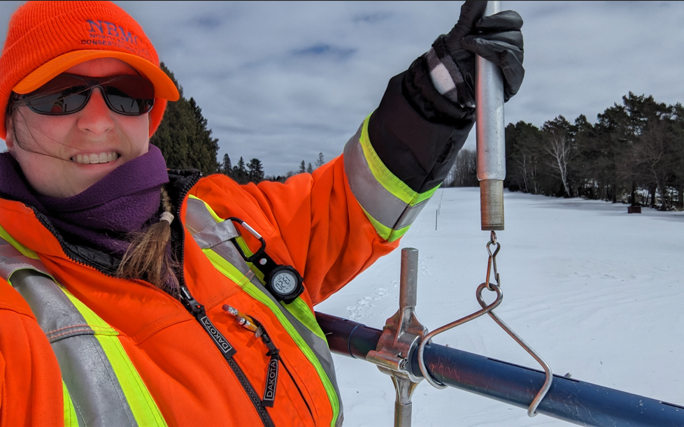
The snowpack has decreased by 5.1 cm while the snow water equivalence has decreased by 21.3 mm since the previous snow survey on April 1, 2025, reports the North Bay-Mattawa Conservation Authority (NBMCA) who measures snow depth and water content as part of its Flood Forecasting and Warning Program.
This is a supplementary survey; more data is required for comparison to historical conditions. Historical data will be included in the next snow survey which takes place April 15. A Snow Survey page on our website is available with more snow survey program information and this season's measurements. https://nbmca.ca/watershed-management/snow-survey/
Snow is measured for depth and water equivalence at three locations in the watershed.
North Bay Golf and Country Club (Chippewa Creek Watershed, North Bay)
|
Current Snow Depth for April
8, 2025 |
22.9 cm |
|
Current Snow Water
Equivalence for April 8, 2025 |
83.0 mm |
|
Snow Depth for April 8,
2024 |
0 cm |
|
Snow Water Equivalence
for April 8, 2024 |
0 mm |
|
|
|
Corbeil Conservation Area (La Vase River Watershed, Corbeil)
|
Current Snow Depth for April
8, 2025 |
20.9 cm |
|
Current Snow Water
Equivalence for April 8, 2025 |
68.0 mm |
|
Snow Depth for April 8,
2024 |
0 cm |
|
Snow Water Equivalence
for April 8, 2024 |
0 mm |
Shirley Skinner Conservation Area (Kaibuskong River Watershed, Chisholm)
|
Current Snow Depth for April
8, 2025 |
32.4
cm |
|
Current Snow Water
Equivalence for April 8, 2025 |
93.0
mm |
|
Snow Depth for April 8,
2024 |
1 0 cm |
|
Snow Water Equivalence
for April 8, 2024 |
0 mm |
The North Bay-Mattawa Conservation Authority (NBMCA) was founded in 1972 by the Province of Ontario. NBMCA is one of 36 Conservation Authorities in Ontario responsible for watershed management on behalf of local municipalities, stakeholders, and the province.