
Travelling South - Be Careful
Highly impactful winter storm this weekend. Consider postponing non-essential travel until conditions improve.
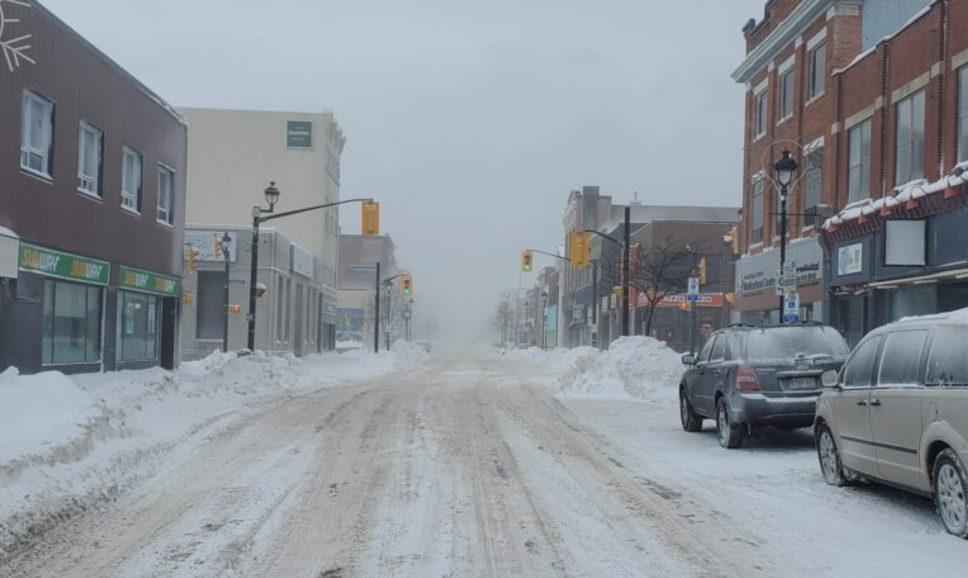
Environment Canada Winter Storm Warning in effect for City of Toronto
Total snowfall accumulations of 25 to 35 cm. Locally higher amounts are possible over the Niagara Escarpment and Dundalk Highlands. Peak snowfall rates of 3 to 6 cm per hour. Significantly reduced visibility in heavy snow and blowing snow.
Beginning this afternoon and ending Sunday evening. The heaviest snow is expected Sunday.
A potent low-pressure system will bring another impactful winter storm to the area. Periods of snow will begin this afternoon bringing general snowfall amounts up to 10 cm by late this evening. Snow may become lighter tonight, with a risk of freezing drizzle near the Golden Horseshoe.
Conditions will rapidly deteriorate Sunday morning as a more significant area of snow and blowing snow arrives. An additional 15 to 25 cm is likely. Travel will be hazardous and is not recommended, particularly on Sunday.
Rapidly accumulating snow could make travel difficult over some locations. Visibility will be suddenly reduced to near zero at times in heavy snow and blowing snow.
Consider postponing non-essential travel until conditions improve. Public Safety Canada encourages everyone to make an emergency plan and get an emergency kit with drinking water, food, medicine, a first-aid kit and a flashlight. For information on emergency plans and kits go to getprepared.gc.ca.